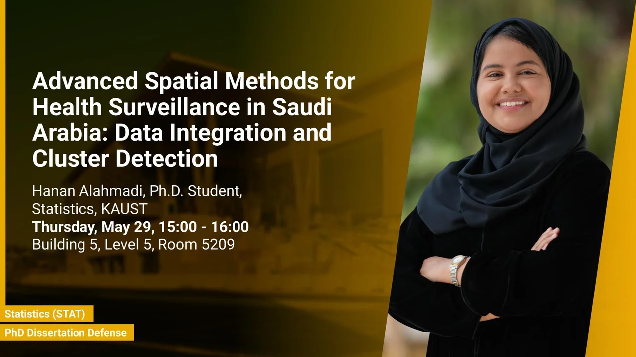
Advanced Spatial Methods for Health Surveillance in Saudi Arabia: Data Integration and Cluster Detection
Building 5, Seaside, Level 5, Room 5209
Under the framework of Saudi Arabia’s Vision 2030, the Health Sector Transformation Program (HSTP) aims to revolutionize the healthcare sector by enhancing access to services, increasing their value, and bolstering preventive measures against health threats. This thesis presents innovative and efficient spatial modeling approaches tailored for public health surveillance in Saudi Arabia, including the modeling of hepatitis B and hepatitis C, leading causes of hepatocellular carcinoma and severe liver diseases which place a significant burden on Saudi Arabia’s healthcare system. Reducing the prevalence of these diseases is critical to achieving the health goals of Vision 2030, emphasizing health as a cornerstone of a vibrant society.
Overview
Spatial statistics play a pivotal role in public health surveillance by identifying risk factors, predicting spatial variations, and detecting disease clusters. Insights derived from these models are invaluable for decision-makers, enabling efficient resource allocation and early interventions that save both costs and lives. However, practical challenges, such as spatial misalignment of data at different resolutions and the complexity of identifying irregularly shaped disease clusters, hinder the effective application of these methods.
This thesis presents an innovative and efficient Bayesian modeling framework tailored for public health surveillance in Saudi Arabia. The framework integrates data from diverse sources and varying spatial resolutions to estimate disease risks and their association with misaligned covariates. This approach offers significant advantages for analyzing spatial and large datasets, providing valuable insights into the geographic distribution of malaria, and the relationship between air pollution and cancer.
A novel Bayesian spatial disaggregation method is introduced, focusing on identifying disease clusters by utilizing exceedance probabilities derived from relative risk estimates. This model-based approach not only pinpoints clusters within larger regions but also quantifies risk factors while accounting for multiple sources of uncertainty.
To further enrich public health insights, a spatio-temporal disease mapping model is developed to analyze trends in HCV incidence across Saudi Arabia from 2019 to 2022. By integrating spatial and temporal dimensions, the model reveals significant spatial variations and temporal trends in relative risk, offering critical insights into the disease's geographic and temporal dynamics. A joint modeling approach is also employed to concurrently analyze HCV and HBV in 2019 across the regions of Saudi Arabia, capturing shared spatial effects and underlying dependencies between the two infections.
Finally, an interactive atlas dedicated to hepatitis B and C in Saudi Arabia is developed as a practical tool for decision-makers. This user-friendly platform provides accessible and actionable insights into the spatial and temporal patterns of these diseases, facilitating evidence-based decision-making and targeted interventions. By aligning with Vision 2030's objectives, the atlas strengthens national public health surveillance capabilities and supports the journey toward a healthier and more sustainable society.
Presenters
Brief Biography
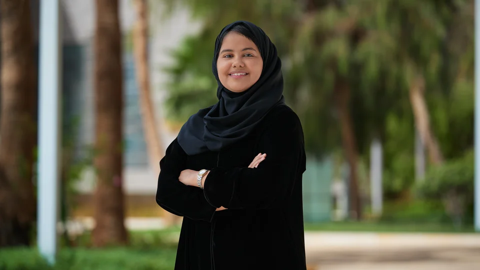
Hanan Alahmadi is a Ph.D. candidate in the Statistics program (CEMSE) at King Abdullah University of Science and Technology (KAUST), specializing in spatial methods for health surveillance in Saudi Arabia, with a focus on data integration and cluster detection under the supervision of Professor Paula Moraga. Her research combines satellite and health data to monitor disease and environmental risks and to develop GIS platforms that support data-driven decision-making. She holds a master’s degree in statistics from KAUST, where she was supervised by Professor Håvard Rue. Hanan is also a lecturer at King Saud University and the founder of Sorat Alardh, a space-tech startup that harnesses Earth observation data for environmental and health applications. Her work has been recognized with several honors, including a grant from the Communications, Space & Technology Commission (CST) and her selection as a finalist in the Falling Walls competition.

