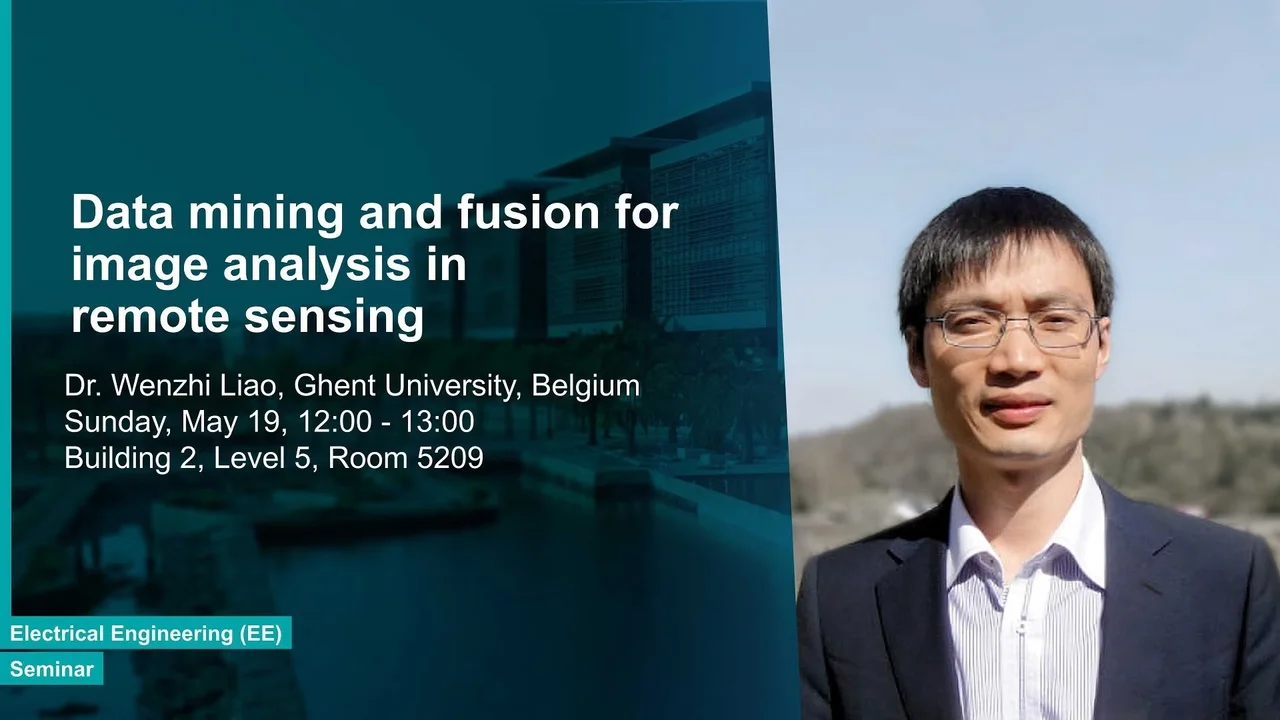
Data mining and fusion for image analysis in remote sensing
Specifically, I will introduce hyperspectral image restoration and its impacts on content interpretation. Despite advances in sensor technologies, degradation (e.g., noise, blur, low resolution, etc.) cannot be avoided during the hyperspectral images’ acquisitions, which can affect information retrieval and content interpretation. The first part of my talk will present the techniques I developed to improve the image qualities (noise reduction, sharpening, resolution enhancement, etc.), with specific applications to plant disease mapping in precision agriculture and fruit bruise detection in food inspection.
Overview
Abstract
Recent advances in the sensor technologies broaden the scope of hyperspectral imaging in many real applications. These include not only conventional Earth observation, but also in close-range remote sensing applications, e.g., medical diagnosis, precision agriculture and food inspection, where hyperspectral image was able to detect targets (e.g., diseases, fruit bruise, etc.) earlier before the effects were observed with our naked eyes. This talk will review the technologies we developed to enable these findings.
Specifically, I will introduce hyperspectral image restoration and its impacts on content interpretation. Despite advances in sensor technologies, degradation (e.g., noise, blur, low resolution, etc.) cannot be avoided during the hyperspectral images’ acquisitions, which can affect information retrieval and content interpretation. The first part of my talk will present the techniques I developed to improve the image qualities (noise reduction, sharpening, resolution enhancement, etc.), with specific applications to plant disease mapping in precision agriculture and fruit bruise detection in food inspection.
Then, I will discuss how to mine important spatial information from multi-sensor images and fuse them for better analysis and interpretation. The objectives are to: (1) model and extract the attributes (e.g., size, shape, etc.) of different objects in an image for better classification, (2) optimize the integration of the complementary information from multi-sensor images to provide a more comprehensive measurement and interpretation (plant disease detection, land-cover classification).
Brief Biography
Wenzhi Liao received the PhD Degree in Computer Science Engineering from Ghent University (Belgium) and the PhD Degree in Engineering from South China University of Technology (China) in 2012. Since 2012, he has been working first as a Postdoc at Ghent University and then as a Research Fellow for Flanders Research Foundation (FWO) at Ghent University.
