You can support our team actively via the online voting element of this competition which may help them in bringing back prizes to KAUST.
About
RAPID RESPONSE DRONE MAPPING AND TRACKING
(DISASTER RELIEF)
In urban and highly populated areas, the greatest danger to human life when disaster strikes are the trapping and injuring of individuals through the collapse of buildings blocked access to food and aid, and injuries occurred during the response, evacuation, and aftermath.
When these disasters strike having a team of first responders is critical. However, their search and rescue are often slow and relief is hampered by bottlenecks in the deployment of food, water and medical care for the wounded. What first responders need, are the tools that can help reduce the time between disaster and relief.
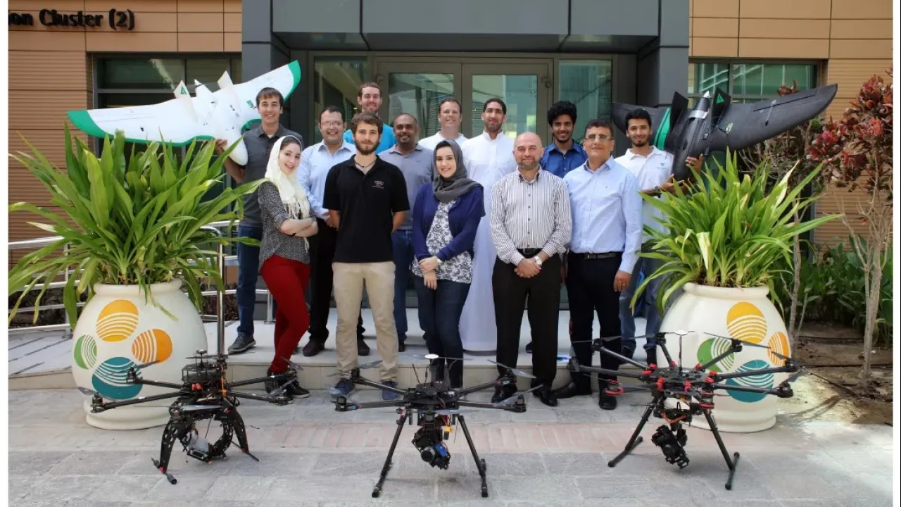
When disaster strikes, drones can play an important role in providing first responders with situational awareness, mapping damage, establishing target areas for disaster relief, providing effective communication with a coordinated response plan, and aiding in search-and-rescue efforts to identify survivors and recover the lost. Find out how these drones work.
And you decide if they can make a difference with first responders drones to facilitate many disaster strikes don't hesitate to click the "I like it" button, share it with friends and family on Facebook and Twitter, each votes counts! Remember to show some love for our FalconViz team! Share it!