Mapping risk on networks: A scalable model for spatial point processes earns international recognition
KAUST Ph.D. student Damilya Saduakhas wins Best Paper Award for a new model mapping accident risk on complex road networks.
About
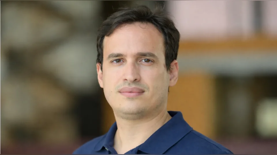
A new statistical framework for analyzing accident data on road networks has earned international recognition for Damilya Saduakhas, a Ph.D. candidate in Statistics at KAUST. Her work addresses a long-standing challenge in spatial statistics: how to accurately model point patterns, such as traffic accidents, when events occur along complex, constrained networks rather than in open space.
Traditional models in spatial statistics assume that events unfold over flat, continuous surfaces. In contrast, road crashes are bound to structured networks, where connectivity and geometry play a defining role in how events unfold. To better reflect these conditions, Saduakhas and her co-authors, Professors David Bolin and Alexandre B. Simas, developed a new class of log-Gaussian Cox processes defined directly on compact metric graphs. These graphs are mathematical representations of real-world networks that preserve both their structure and spatial relationships.
"Taking the network structure into account is crucial as locations on different roads may be close in bird's eye distance, but far apart when measuring the distance on the network and therefore can have very different accident risks" said Bolin. "We set out to build a model that takes this into account and is scalable to real-world data."
At the heart of their approach is the use of Whittle–Matérn fields, a class of Gaussian processes defined through fractional stochastic differential equations on graphs. This formulation offers both theoretical rigor and practical flexibility. To ensure scalability, the team introduced a novel likelihood approximation that allows for efficient and fully Bayesian inference, even on networks with hundreds of thousands of nodes and edges, and which is theoretically justified.
The model is implemented in the open-source R package MetricGraph and integrates with the widely used R-INLA software. This makes the framework accessible to researchers, planners, and policymakers working with large-scale network data.
"We're enabling users to detect statistically significant hotspots on road networks, even after accounting for known risk factors like traffic volume or proximity to intersections," said Saduakhas. "It's a powerful tool for supporting data-informed decisions in public safety and infrastructure."
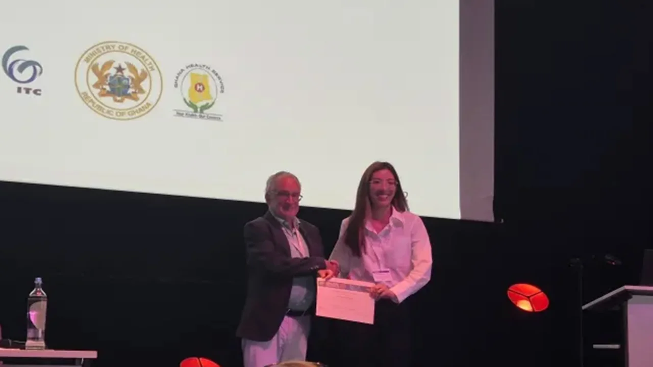
The framework was presented at Spatial Statistics 2025: At the Dawn of AI, an international conference held from July 15 to 18 in Noordwijk, The Netherlands. Organized by Elsevier, the event brings together leading researchers in spatial statistics and artificial intelligence to explore new advances and challenges in the field. At the conference, Saduakhas received the Best Paper Award in recognition of both the methodological innovation and the model's real-world potential.
As data-driven tools continue to shape policy, urban planning, and infrastructure development, the KAUST team's work offers a timely and adaptable solution for analyzing spatial phenomena on networks. It bridges the gap between advanced statistical theory and the practical needs of modern cities.