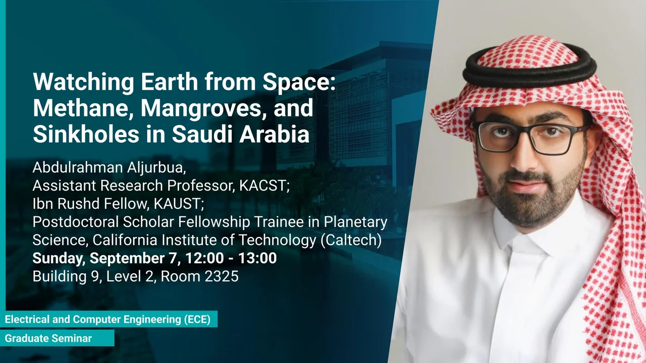
Watching Earth from Space: Methane, Mangroves, and Sinkholes in Saudi Arabia
This talk will present three projects that use satellite remote sensing to address pressing environmental challenges in Saudi Arabia.
Overview
From greenhouse gases in the atmosphere to forests along the coast and shifting ground beneath our cities, the environment is full of hidden processes that advanced technology can reveal. In this seminar, I will share the story of three projects that use satellite remote sensing to address pressing environmental challenges in Saudi Arabia. Using NASA’s EMIT hyperspectral mission, we detect and track methane emissions across the Arabian Peninsula, shedding light on one of the most powerful greenhouse gases. With synthetic aperture radar (SAR), we map and estimate the biomass of mangrove forests along the Saudi Arabian coasts, critical ecosystems for carbon storage and coastal protection. Finally, with interferometric SAR (InSAR) time-series analysis, we monitor ground deformation around Riyadh to assess and anticipate sinkhole hazards. Together, these case studies show how satellites and signal processing connect engineering innovation with Earth science, offering new ways to understand and safeguard our planet.
Presenters
Abdulrahman Aljurbua, Assistant Research Professor, KACST; Ibn Rushd Fellow, KAUST; Postdoctoral Scholar Fellowship Trainee in Planetary Science, California Institute of Technology (Caltech)
Brief Biography
Abdulrahman Aljurbua is an Assistant Research Professor at King Abdulaziz City for Science and Technology (KACST) in Riyadh, Saudi Arabia, and KAUST's Ibn Rushd Postdoctoral Fellow at the California Institute of Technology (Caltech).
He received his B.S. degree in Electrical Engineering from King Fahd University of Petroleum and Minerals in 2017,and his M.S. and Ph.D. degrees in Electrical Engineering from the University of Michigan, Ann Arbor, in 2020 and 2022, respectively under the supervision of Professor Kamal Sarabandi, where he developed inversion algorithms for detecting and localizing buried pipelines and leaks using a novel multistatic subsurface synthetic aperture radar (SAR) system.
His current research at Caltech focuses on satellite-based remote sensing, including InSAR for surface deformation monitoring, SAR for mangrove mapping and biomass estimation, and hyperspectral imaging for monitoring greenhouse gases.