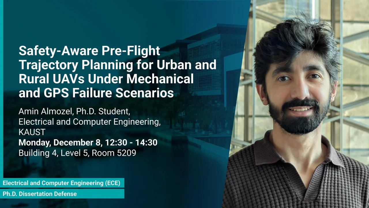
Safety-Aware Pre-Flight Trajectory Planning for Urban and Rural UAVs Under Mechanical and GPS Failure Scenarios
Building 4, Level 5, Room 5209
This work develops a safety-aware pre-flight planning framework for UAV missions, addressing risks such as propulsion failure, GPS loss, and communication outages. It ensures drones remain within reach of safe landing sites and accounts for dense urban constraints, including no-fly zones. Using a high-fidelity simulator with real geospatial data, the framework is validated for both routine and emergency scenarios, offering a structured approach to reliable, failure-tolerant UAV trajectory planning.
Overview
Unmanned Aerial Vehicles (UAVs) are rapidly emerging as a transformative technology with applications in agriculture, infrastructure inspection, environmental monitoring, and logistics. Among these, package and medical delivery stand out as especially promising, offering faster response times, reduced reliance on congested road networks, and the ability to provide critical supplies during emergencies. Yet, integrating UAVs safely into civilian and urban airspace remains a major challenge. Failures such as propulsion loss, communication outages, or GPS interference can compromise operations and endanger people and infrastructure, highlighting the need for systematic contingency planning and safety-aware trajectory design. As global aviation authorities such as the FAA, EASA, and GACA develop regulatory frameworks, the demand for rigorous and provably safe approaches to UAV traffic management is becoming increasingly urgent.
This dissertation addresses these challenges by introducing a safety-aware pre-flight planning framework that systematically accounts for multiple UAV failure modes and urban operating constraints. The first stage of this research demonstrates how trajectories can be designed to always remain within gliding range of safe landing sites, validated in the context of medical drone delivery missions. Building on that foundation, the research expands to dense urban airspace and multirotor platforms, integrating considerations of GPS loss, communication blackouts, and no-fly zones. The framework is implemented in a high-fidelity simulator using realistic geospatial data from the KAUST campus, enabling evaluation under both nominal and emergency conditions. Together, these contributions establish a structured approach to contingency-aware trajectory planning.
Presenters
Brief Biography
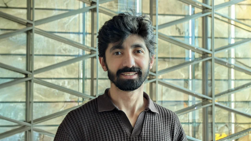
Amin Almozel is a PhD candidate whose research focuses on simulation, optimization, and autonomous mobility systems. His work includes developing a city-scale drone-traffic simulator and an unmanned traffic management framework that integrates logistics applications such as autonomous food delivery. Throughout his doctoral studies, Amin has been dedicated to advancing safe, efficient, and scalable air-traffic solutions for urban environments. His broader interests include intelligent transportation systems, real-time planning, and high-fidelity modeling of autonomous agents.

