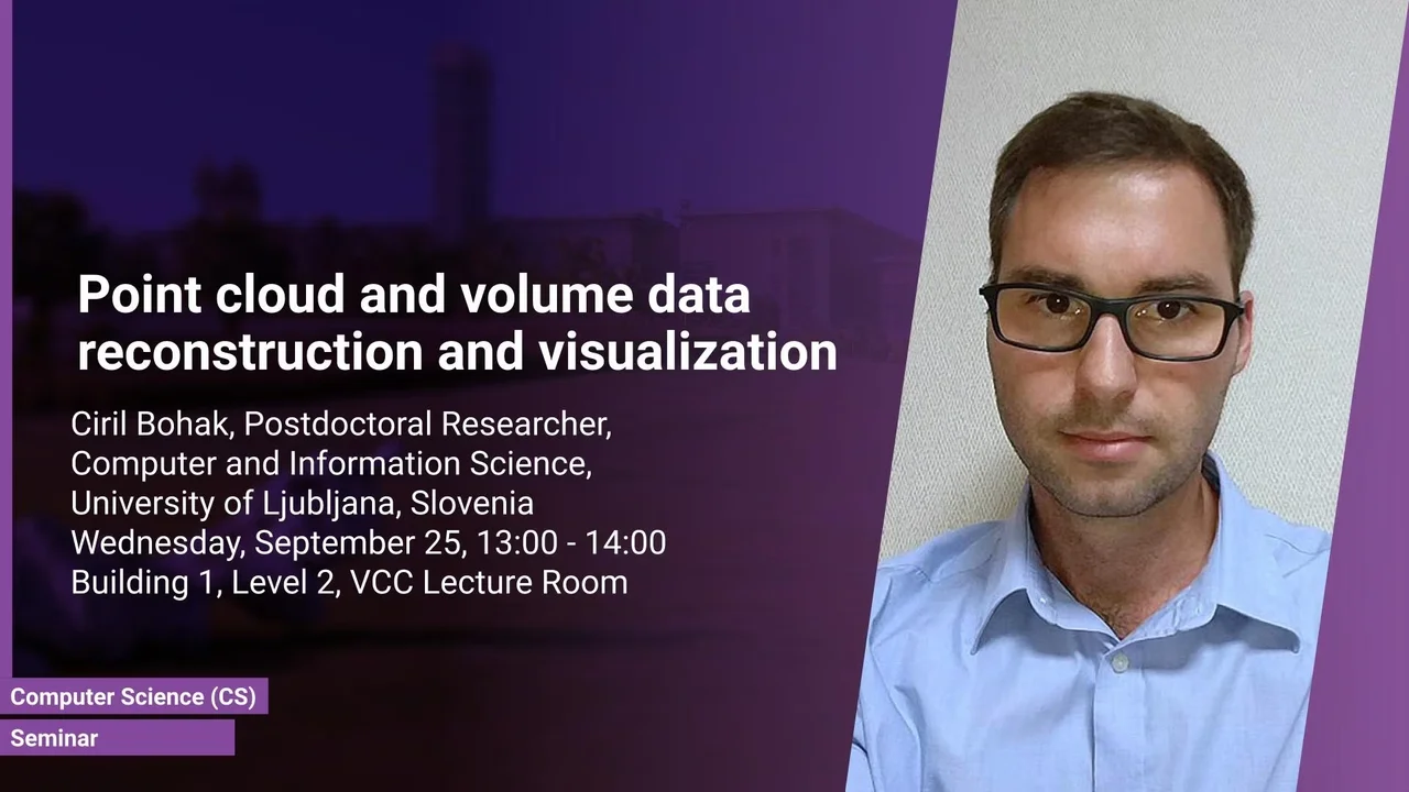
Point cloud and volume data reconstruction and visualization
- Dr. Ciril Bohak, Postdoctoral Researcher, Faculty of Computer and Information Science, University of Ljubljana, Slovenia
B1 L2
Overview
Abstract
Our ongoing research on the reconstruction of aerial point cloud data includes reconstructing the parts of the data that are not captured by the airplane mounted LiDAR system due to the shadowing effect and lack of reflections. We are developing methods for reconstructing (1) building walls, (2) reconstruction of bridges and underlying terrain; (3) reconstruction of water surfaces of lakes and rivers, and (4) reconstruction of terrain overhangs. In all the cases we are merging the point cloud data with cadaster data or digital terrain model data for filling the gaps in the point cloud representation. Next, I will present our web-based collaborative visualization framework, designed to study the data in remote collaborative environments or in distance learning scenarios. Finally, I will present a web-based path-tracing framework for real-time visualization of volume data in web-browsers.
Brief Biography
Ciril is a postdoctoral researcher and teaching assistant in the Laboratory for Computer Graphics and Multimedia, Faculty of Computer and Information Science, University of Ljubljana, Slovenia. His main research interests are Computer Graphics, Game Technology, and Data Visualization. His current research includes real-time medical and biological volumetric data visualization on the web, visualization of geodetic data (LiDAR and orthophoto) and high-energy physics data visualization (in collaboration with CERN).
