
© Valerio Mei / Alamy Stock Photo
An effective hazard warning system aims to predict the time, place, size, and frequency of landslides, yet there are multiple complex and often random input factors to consider. Researchers have developed a computer model that improves on existing prediction accuracy and enhances understanding of the complexities inherent in landslide events.
“Existing landslide models work from a premise where each slope in an area is assigned a value of zero or one — the slope is either stable or unstable,” says former KAUST postdoc, Luigi Lombardo, now at the University of Twente in the Netherlands. This project builds on previous landslide models developed by Lombardo, continuing his collaboration with Raphaël Huser and the team from KAUST.
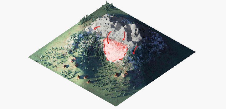
“Assigning a binary value means that critical details about a slope and its neighborhood are lost,” continues Lombardo. “For our model, we assigned values according to how many landslide events a given slope has experienced over time. In the case of our test region in the Collazzone area in Italy, this includes landslide data from detailed local records dating back around 100 years.”
Read the full article