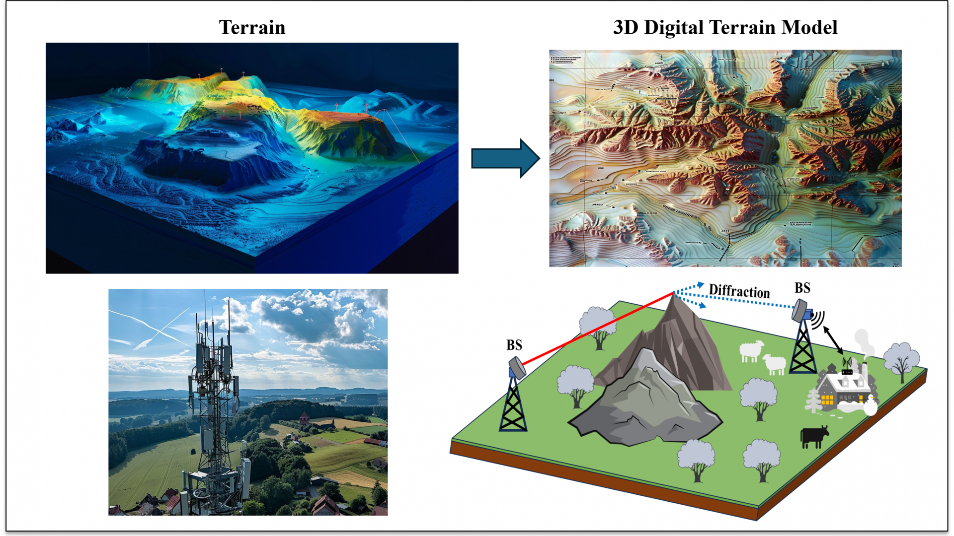
Accurate prediction and modelling of radio signal propagation is necessary for the planning and design of wireless communication systems. Today, many RF planning and propagation tools are usually implemented based on site-specific propagation models that require the terrain elevation profile between the base stations (BSs) to realistically estimate the pathloss, received signal, and coverage area for the wireless communication systems. The terrain elevation profile can be extracted from various freeware and commercial global digital elevation models (DEMs). The DEMs were developed using different techniques and remote sensing technologies; thus, they have different levels of accuracy and resolution. However, until today there has been no study in the literature investigating the impact of the accuracy and resolution of various available DEMs on the prediction of the diffraction pathloss using terrain-based propagation models.
A research team from the Communications Theory Laboratory (CTL) at King Abdullah University of Science and Technology (KAUST), including Dr. Muneer Al-Zubi and Prof. Mohamed-Slim Alouini, have comprehensively examined the impact of the accuracy of the various available DEMs on prediction of the diffraction pathloss in different rural areas based on terrain-based propagation models and outdoor measured data. The calculated diffraction loss is verified and compared with diffraction measurements collected in various rural sites. This work has been published in the article entitled “Influence of Digital Terrain Data Accuracy on Diffraction Prediction in NLOS Wireless Backhauls” in IEEE Transactions on Vehicular Technology.
In this work, the elevation accuracy of various DEMs was examined in comparison to reference data obtained from the LiDAR-based dataset. The results show that some DEMs may inaccurately estimate the terrain elevation and obstacle height which highly impacts the accuracy of the predicted diffraction loss, particularly in the case of shallow diffraction angles. This happens because the propagation mode may switch between NLOS, nLOS, and LOS. Therefore, a prior evaluation of the elevation data accuracy in rural sites is necessary before applying the various terrain-based RF propagation models and tools.
More information is available in the following article:
M. M. AL-ZuBi and M. -S. Alouini, "Influence of Digital Terrain Data Accuracy on Diffraction Prediction in NLOS Wireless Backhauls" in IEEE Transactions on Vehicular Technology., doi: 10.1109/TVT.2024.3415358.
Related Persons