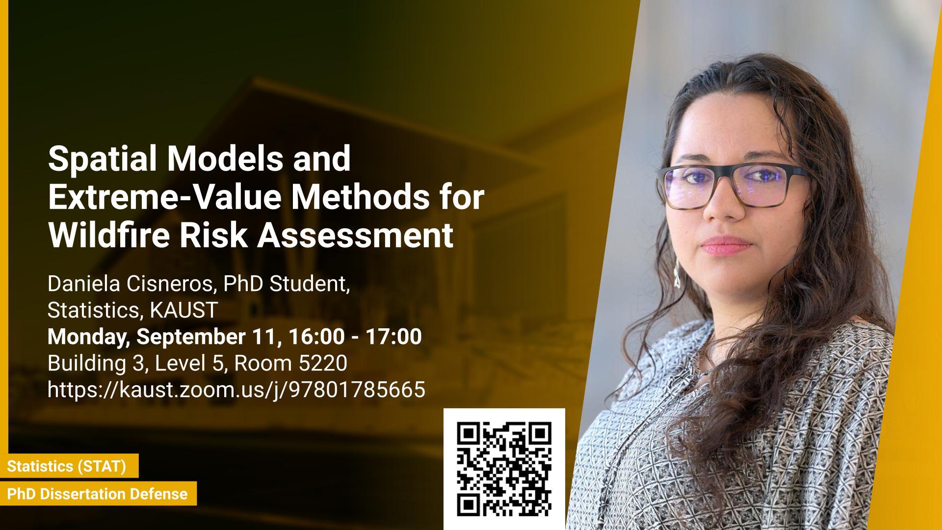
Abstract
The statistical modeling of spatial and extreme events provides a framework for the development of techniques and models to describe natural phenomena in a variety of environmental, geoscience, and climate science applications. In a changing climate, various natural hazards, such as wildfires, are believed to have evolved in frequency, size, and spatial extent, although regional responses may vary. The impacts of extreme wildfires are of great significance due to their association with air pollution, the extinction of floral and faunal species, substantial economic ramifications, irreversible harm to the environment and atmosphere, and the fact that they put human lives at risk.
The prediction of wildfires holds significant importance within the realm of wildfire management due to its influence on the allocation of resources, the mitigation of detrimental consequences, and the subsequent recovery endeavors. Therefore, the development of robust statistical methodologies that can accurately forecast extreme wildfire occurrences across spatial and temporal dimensions is of great significance.
In this thesis, we develop new spatial statistical models, combined with popular machine learning techniques, as well as novel extreme-value methods to enhance the prediction of wildfire risk. First, in order to jointly efficiently model high-dimensional wildfire counts and burnt areas over the whole contiguous United States, we propose a four-stage zero-inflated bivariate spatiotemporal model combining state-of-the-art low-rank spatial models and random forests. Second, to model high values of the McArthur Forest Fire Danger Index over Australia, we develop a novel spatial extreme-value model based on mixtures of tree-based multivariate Pareto distributions. The benefit of our new methodology is that it combines theoretically justified spatial extreme models with a computationally convenient graphical model framework to tackle spatial problems in high dimensions efficiently. Our practical results show that our methods can be helpful to assess wildfire risk over space and time. Third, we exploit recent advancements in deep learning and build a parametric regression model using graphical convolutional neural networks and the extended Generalized Pareto distribution, that allow us to jointly model moderate and extreme wildfires observed on an irregular spatial grid. We work with a novel dataset of Australian wildfires from 1999 to 2019 and analyze monthly spread over areas corresponding to Statistical Area Level 1 (SA1) and Level 2 (SA2) regions, given the complex nature of wildfire ignition and spread. We highlight the efficacy of our newly proposed model and perform a risk assessment for Australia and population-dense communities.
Brief Biography
Daniela Cisneros obtained her MSc degree in 2012 from The Centro de Investigación en Matemáticas (CIMAT), Guanajuato, Mexico. She joined the Ph.D. program in Statistics at KAUST in 2017. Her research interests focus on statistics of extreme events and risk assessment, including the development of specialized models and methods with desirable statistical properties for complex spatio-temporal processes, with main application to the modeling and prediction of wildfires.


