Abstract:
Geospatial health data are essential to inform public health and policy. These data can be used to quantify disease burden, understand geographic and temporal patterns, identify risk factors and measure inequalities. In this talk, I will give an overview of statistical methods and computational tools for geospatial data analysis and health surveillance. I will present disease risk models where environmental, demographic and climatic data are used to predict the risk and identify targets for intervention of tropical diseases. I will also show the R packages epiflows for risk assessment of travel-related spread of disease, and SpatialEpiApp for disease mapping and the detection of clusters. Finally, I will describe my future research and how it can inform better surveillance and improve population health globally.
Biography:
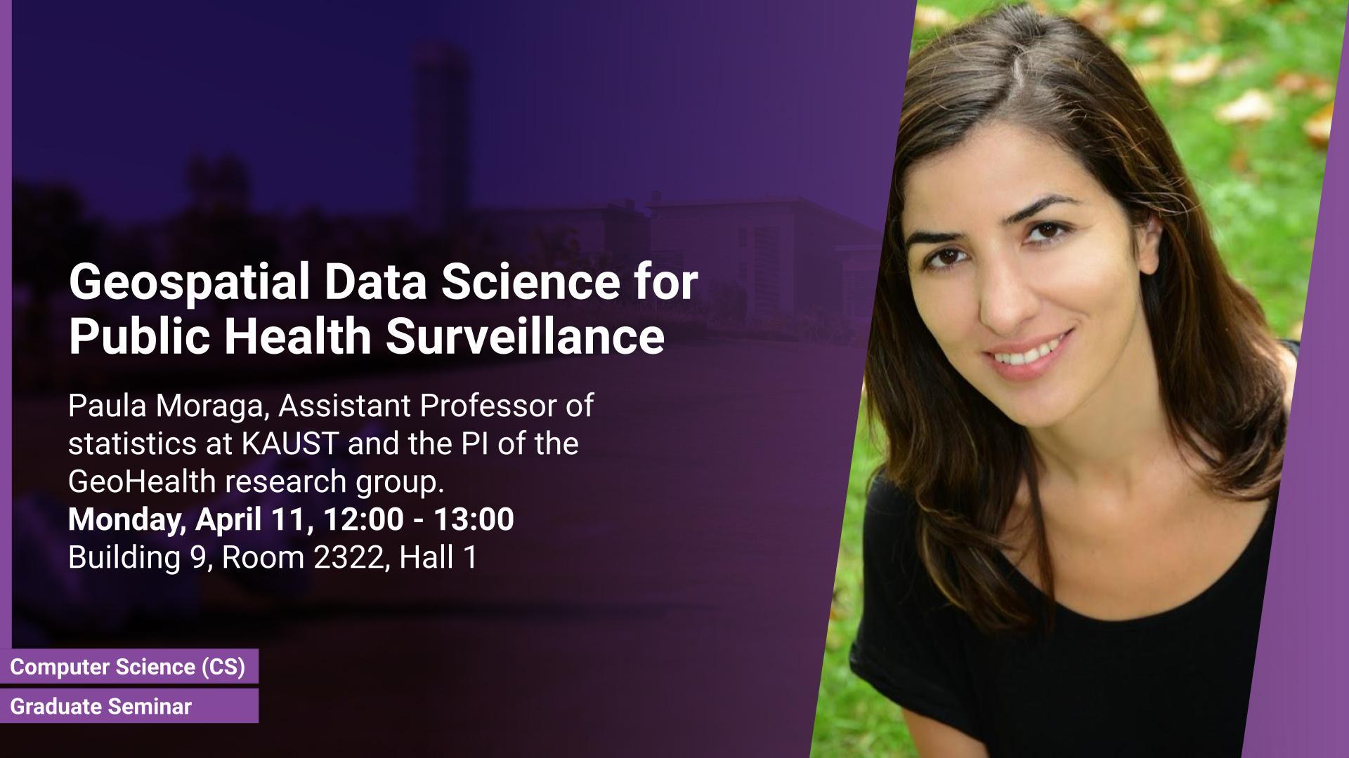
Paula Moraga is an assistant professor of statistics at KAUST and the PI of the GeoHealth research group. Paula's research focuses on the development of innovative statistical methods and computational tools for geospatial data analysis and health surveillance, and the impact of her work has directly informed strategic policy in reducing disease burden in several countries. She has developed modeling architectures to understand the spatial and spatio-temporal patterns and identify targets for intervention of diseases such as malaria in Africa, leptospirosis in Brazil, and cancer in Australia, and has worked on the development of a number of R packages for Bayesian risk modeling, detection of disease clusters, and risk assessment of travel-related spread of disease. Paula has published extensively in leading journals and is the author of the book 'Geospatial Health Data: Modeling and Visualization with R-INLA and Shiny' (2019, Chapman and Hall/CRC). Paula received her Ph.D. degree in Mathematics from the University of Valencia, and her master's degree in Biostatistics from Harvard University.

