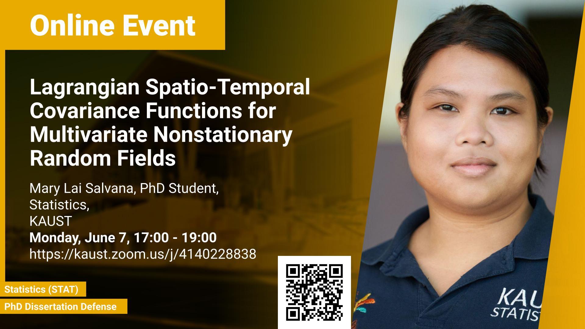
Monday, May 31, 2021, 16:00
- 18:00
KAUST
The modeling of spatio-temporal and multivariate spatial random fields has been an important and growing area of research due to the increasing availability of space-time-referenced data in a large number of scientific applications. In geostatistics, the covariance function plays a crucial role in describing the spatio-temporal dependence in the data and is key to statistical modeling, inference, stochastic simulation, and prediction. Therefore, the development of flexible covariance models, which can accommodate the inherent variability of the real data, is necessary for advantageous modeling of random fields. This thesis is composed of four significant contributions in the development and applications of new covariance models for stationary multivariate spatial processes, and nonstationary spatial and spatio-temporal processes. Firstly, this thesis proposes a semiparametric approach for multivariate covariance function estimation with flexible specification of the cross-covariance functions via their spectral representations. The flexibility in the proposed cross-covariance function arises due to B-spline based specification of the underlying coherence functions, which in turn allows for capturing non-trivial cross-spectral features. The proposed method is applied to model and predict the bivariate data of particulate matter concentration and wind speed in the United States. Secondly, this thesis introduces a parametric class of multivariate covariance functions with asymmetric cross-covariance functions. The proposed covariance model is applied to analyze the asymmetry and perform prediction in a trivariate data of particulate matter concentration, wind speed and relative humidity in the United States.
Thirdly, the thesis presents a space deformation method which imparts nonstationarity to any stationary covariance function. The proposed method utilizes the functional data registration algorithm and classical multidimensional scaling to estimate the spatial deformation. The application of the proposed method is demonstrated on precipitation data from Colorado, United States. Finally, this thesis proposes a parametric class of time-varying spatio-temporal covariance functions, which are stationary in space but nonstationary in time. The proposed time-varying spatio-temporal covariance model is applied to study the seasonality effect and perform space-time predictions in the daily particulate matter concentration data from Oregon, United States.